
Walk a Milton Street Address
A sound Milton street directory trail starts with one exact address and expands only after the parcel is confirmed. Fulton County separates a property's situs address, the physical site, from the owner's tax-mailing address. That distinction matters. A mailing address elsewhere may point to an absentee owner, while matching addresses may support owner occupancy but do not prove who else lives there.
- Search the Fulton County property records by street address. Save the parcel identifier, owner, situs, mailing address, subdivision, lot and block.
- Open the Fulton GIS portal or Milton city map. Follow parcel shapes along the road instead of assuming house numbers are sequential.
- For lawful street-level voter research, order the proper municipal or county voter file. My Voter Page is only an identity-gated check for one known voter.
- Carry each owner and legal description into the GSCCCA deed index. Search the current owner as grantee, then the seller as an earlier grantee.
- For past occupants, consult Haines criss-cross volumes at Fulton County Library Special Collections. Compare printed occupants with deeds rather than treating them as the same fact.
This address-to-parcel-to-owner path keeps similar names and nearby lots from merging into one claim. It also works on Milton's large rural parcels, where the next numbered house may not touch the target land.
Milton Street Directory Search Fields
The assessor is the first current ownership stop because it accepts owner, address, and parcel searches. Its records may show a parcel ID, tax year and district, owner, separate situs and mailing fields, land use, class, exemptions, acreage, neighborhood, subdivision, and lot or block. The assessor does not issue deeds or tax bills, and the owner field is not an occupant list.
| Search item | How to use it | Important limit |
|---|---|---|
| Owner name | Find parcels under a known owner | Ownership does not prove residence |
| Street address | Match the physical, or situs, location | Spellings and postal labels can vary |
| Parcel ID | Carry one property between map and roll | Splits and assemblies can change an ID |
| Mailing address | See where tax correspondence goes | It may differ from the property site |
| Lot, block, subdivision | Connect the parcel to plats and deeds | Older rural land may use land lots instead |
Georgia generally assesses property at 40 percent of fair market value. Those value fields can help confirm the right parcel, but they add no proof about household members. Tax bill and payment questions belong to the Fulton Tax Commissioner, not the Board of Assessors.
Browse Milton Parcels by Street
Milton On Demand and Fulton GIS turn an address hit into a street view. Search the target, zoom until parcel polygons appear, and record the PIN for each parcel being checked. Useful layers include neighborhoods, zoning, floodplains, land lots, subdivisions, council districts, plats, active permits, rezoning, variances, stormwater, and future land use. These layers give place context, not proof that a named person lives there.
The city's address points distinguish a main site from suites or building subaddresses. Street centerlines also hold left and right address ranges, municipal labels, and ZIP values. That structure explains why houses across one road can have different postal or city identities. For map help, Milton GIS can be reached at 678-242-2554 or gis@miltonga.gov.
Use the Milton On Demand map hub to inspect the parcel setting, then return each PIN to the assessor for the official owner fields. The map is strongest when it prevents a wrong-lot match.
Note: Milton's rural roads and broad parcels make mapped boundaries more dependable than guesses based on the next house number.
Milton Records Indexed by Address
No single office keeps a complete Milton street directory. Each address-keyed source answers a narrower question. The useful result comes from joining them without turning ownership, registration, or a permit into a claim about a whole household.
| Address source | Keeper | Street evidence | Access route |
|---|---|---|---|
| Parcel and tax roll | Fulton Board of Assessors | Owner, situs, mailing, PIN, subdivision | Free web search; office fallback |
| Parcel maps | Fulton GIS and Milton GIS | Shapes, address points, land lots, city and ZIP context | Free map browse |
| Deeds and plats | Fulton Clerk Real Estate Division | Grantor, grantee, transfer, legal description, book/page | Paid GSCCCA access or public records room |
| Voter file | Georgia Secretary of State | Registered voters and residence street components | Paid noncommercial file order |
| Permit records | Milton CityView and City Clerk | Address, permit type, status, dates, work context | Portal, account, or records request |
| Criss-cross volumes | Fulton Library Special Collections | Historic address-to-occupant entries | Walk-in research |
The Fulton assessor also offers office help, including its Alpharetta office at 11575 Maxwell Road, Suite 102. Deed research can continue at the North Service Center or the downtown records room when a paid web account or older online material is not enough.
Follow Milton Ownership Along Streets
The Fulton Deeds and Records Room reports instruments from the early 1800s and provides public research computers and books. GSCCCA offers Fulton searches by grantor or grantee name, book and page, subdivision, unit, block, lot, and, for some account modes, instrument type. Its statewide real-estate index is guaranteed from 1999 forward, while older additions vary.
The Deeds and Records Room image below shows the official fallback behind an online Milton street directory search.
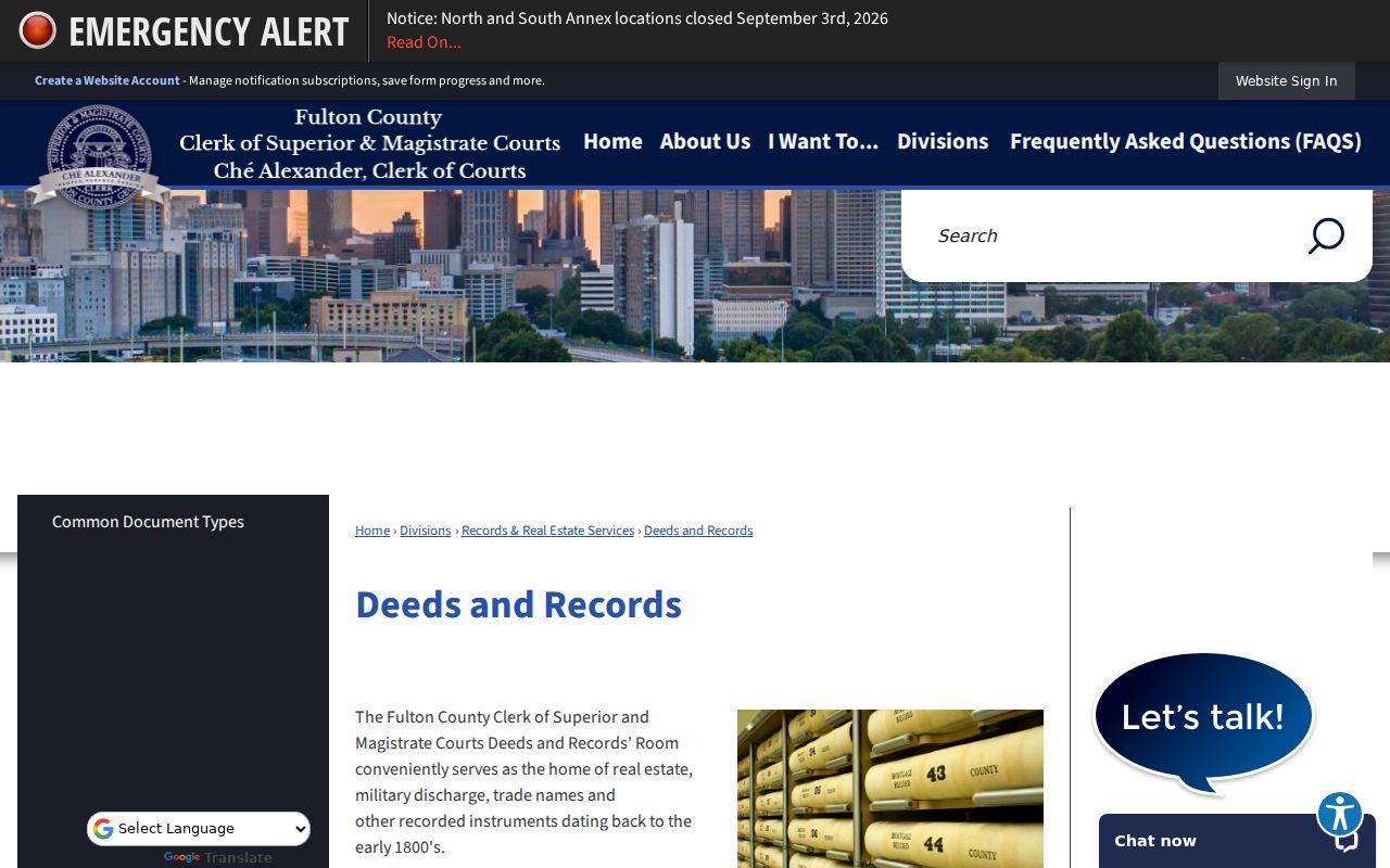
That office route matters when the web index stops, when a deed is known only by book and page, or when a legal description works better than a modern street number.
A deed uses a grantor for the party transferring an interest and a grantee for the party receiving it. Search the present owner as grantee near the purchase date, save the prior owner and book/page, then repeat backward. Keep the land lot, district, subdivision lot, block, and plat reference with each step. A conveyance proves title activity, not occupancy.
Milton Street Permits Since Cityhood
Milton became a city in December 2006, so municipal permit and code records have a firm local boundary. Building permits now run through CityView. The portal can use an address, parcel number, or permit number; account records may show a reference number, address, type, status, and date created. Older city-era items that do not appear online should go to the City Clerk as a narrow request by address and date range.
Open the Milton CityView property and permit portal before asking staff for a file.
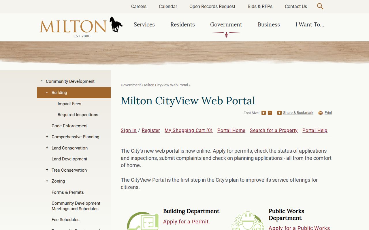
The portal view ties work to a site, but a named applicant or contractor should not be treated as a resident.
Permit families include building, pools, land disturbance, signs, certificates of occupancy, tree removal, and related work. They can date a structure or explain a parcel change. For missing existing records, the Georgia Open Records Act normally calls for a response within three business days, though an agency does not have to create a new street roster.
Voters in a Milton Street Directory
Georgia's My Voter Page cannot browse a street. It asks for a first initial, last name, Fulton County, and date of birth to verify one known voter. A street-level route instead uses an ordered voter registration file. The official specification can include residence number, direction, street name and type, unit, city, ZIP, registration status, birth year, districts, registration date, and mailing fields.
The file remains incomplete as a household source. It omits children and unregistered adults, and protected VoteSafe addresses stay confidential. It never shows ballot choices. Georgia law also bars commercial use of elector-list data. A Milton municipal file is listed at $65 and county data at $70, with advance payment and roughly two-week delivery; custom or expedited orders are not offered.
Common mistake. MVP is a self-check for one known voter; it is not the street-by-street voter directory.
Milton Roads Carry Old Names
Mayfield, Dinsmore, Broadwell, Rucker, Nix, Hembree, and Cogburn survive as road names and may also act as surname leads in deeds, cemetery records, and family files. Modern street numbers are less durable. The 1832 land-lottery system left land lots and districts beneath today's parcels, so those legal keys can bridge an address that has changed.
Historic jurisdiction changes also matter. Search Cherokee County before 1857, former Milton County from 1857 through 1931, and Fulton County from 1932. A present-day Milton municipal record cannot predate cityhood. Older north Fulton entries may use an Alpharetta postal heading even though the land now lies in Milton.
Haines criss-cross directories, held at Fulton County Library's Central Special Collections, cover 1946 through 2016/17 and run from address to occupant. They are the strongest walk-in address fallback. Full collection details belong to the Milton city directories research path.
Milton Streets Cross Postal Lines
Postal geography is not the city line. An Alpharetta 30009 mailing address can still be inside Milton, especially along Highway 9 and near Providence Park. The broad 30004 area also extends beyond Milton. Check the full address through USPS, then verify city inclusion with My Milton Info or the city map.
For parcels, search the situs address rather than relying on a postal label. Preserve the separate owner mailing address. If a road tracks a boundary, compare the GIS centerline's City Left, City Right, ZIP Left, and ZIP Right fields. The Milton ZIP directory explains that postal layer in depth.
Note: No verified citywide street-renumbering year was found, so use plats and legal descriptions instead of assuming one sweeping change.
Terms in Milton Street Records
Four terms keep the Milton street directory chain precise. Define them before comparing portal results, since each points to a different kind of evidence.
- Parcel
- A mapped unit of land identified by a parcel or PIN number.
- Situs address
- The physical location of the property, distinct from the address used to mail tax notices.
- Plat
- A recorded map showing a subdivision, lots, boundaries, roads, or easements.
- Criss-cross directory
- A directory arranged by street and house number so an address can lead to a printed occupant.
A parcel can change after a split or assembly. A plat and legal description are often the best bridge when a current address fails in an older deed index.
Limits of Milton Street Records
Public sources cannot show every renter, child, unregistered adult, visitor, or household member. Private utility and delivery customer lists are not a substitute. Motor-vehicle addresses are protected by federal law, while Georgia Safe at Home and VoteSafe can shield qualifying addresses. A missing public address may reflect lawful protection, a record cutoff, or the wrong custodian.
The safest conclusion is narrow: the assessor names an owner, a deed records a transfer, the voter file names a registered voter, and a directory printed an occupant. None alone proves a complete present household.
Lawful use. Use Milton address records for lawful personal research. Never use them to stalk, harass, threaten, intimidate, or harm anyone.